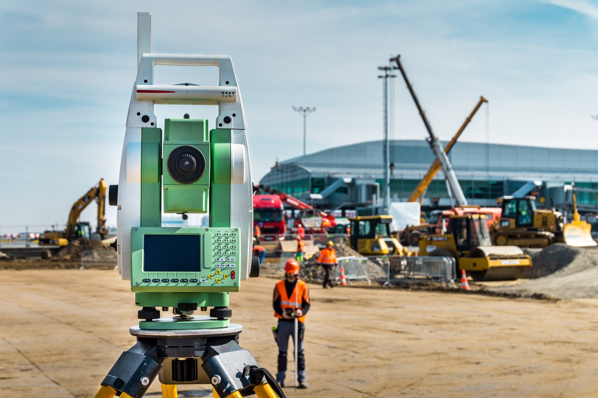
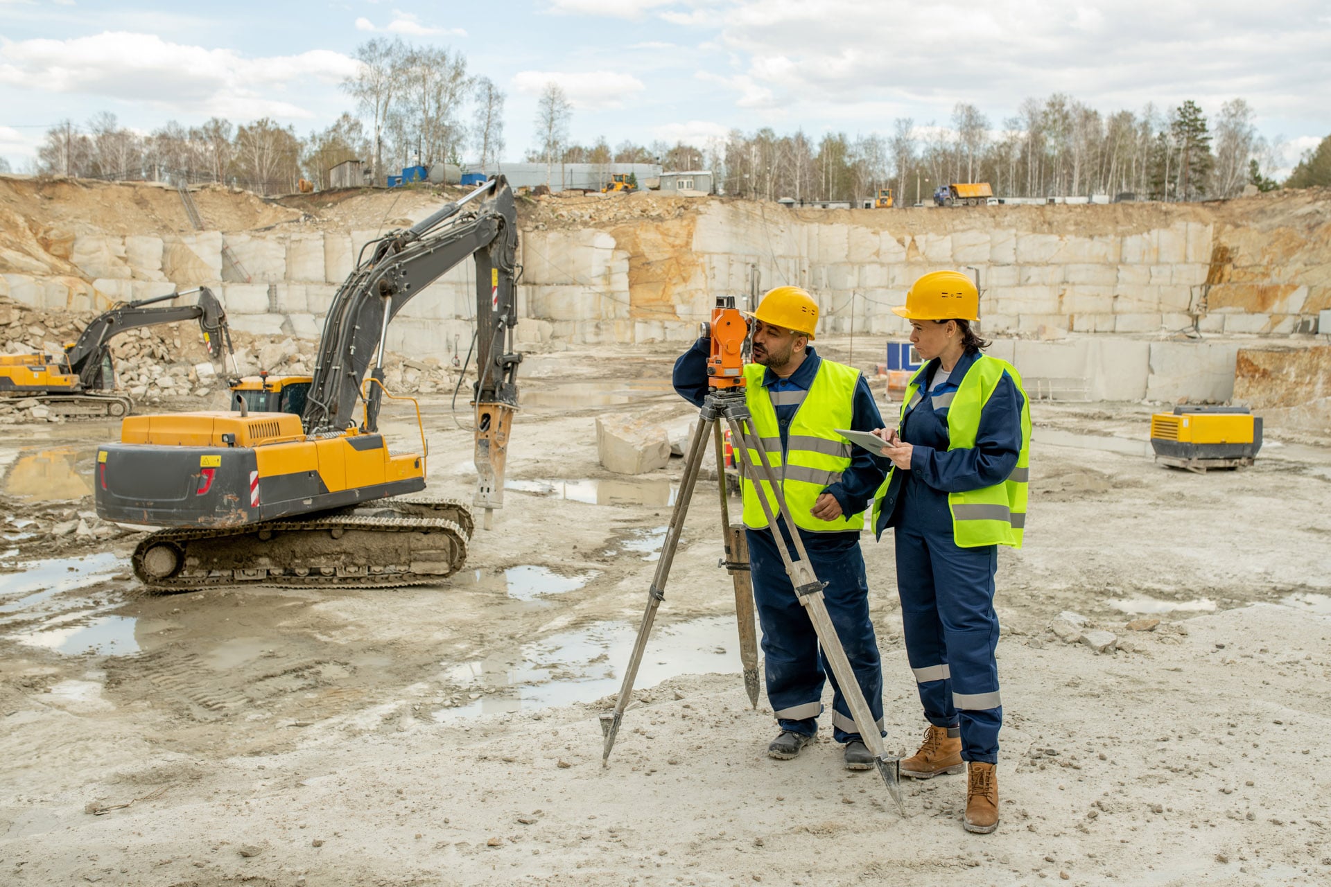
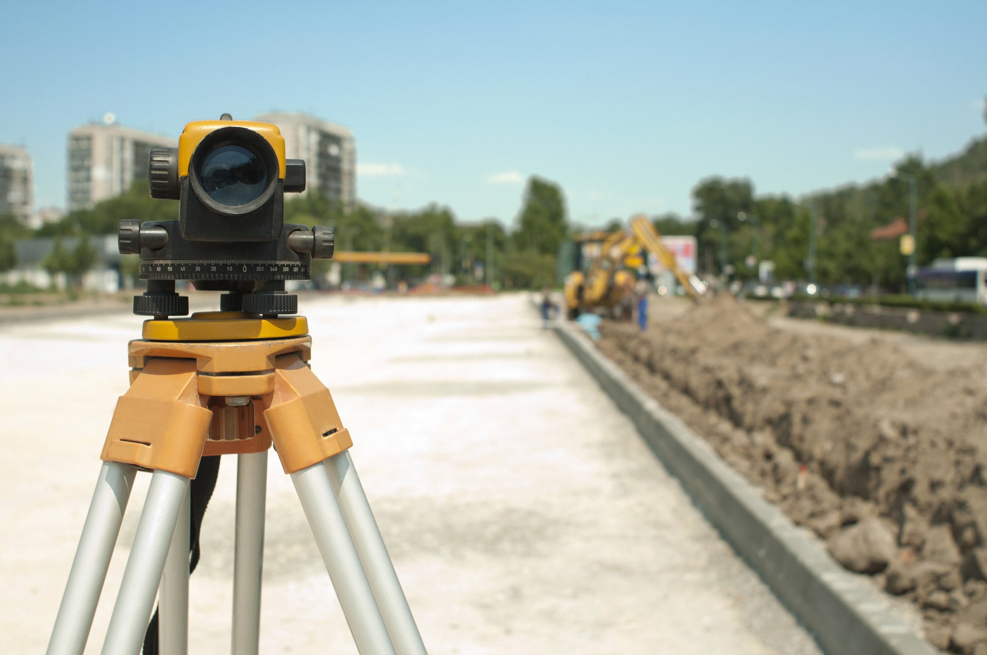
Topographical surveys, also called land surveys or topo surveys are a comprehensive and precise evaluation of a site or piece of land. They identify and determine natural and manmade elements.
At Real Scan, we work with architectural practices, developers, and homeowners to deliver topographical surveys for land in London and the home counties. Our work helps to identify site conditions before construction and design works begin.
Our topographical survey scans show distinguishing features within the area of interest such as property, infrastructure, physical boundary details, ground heights, contours and surfaces.
We can provide a range of deliverables depending on your requirements including point cloud data, scaled 2D AutoCAD drawings, contour maps and more.