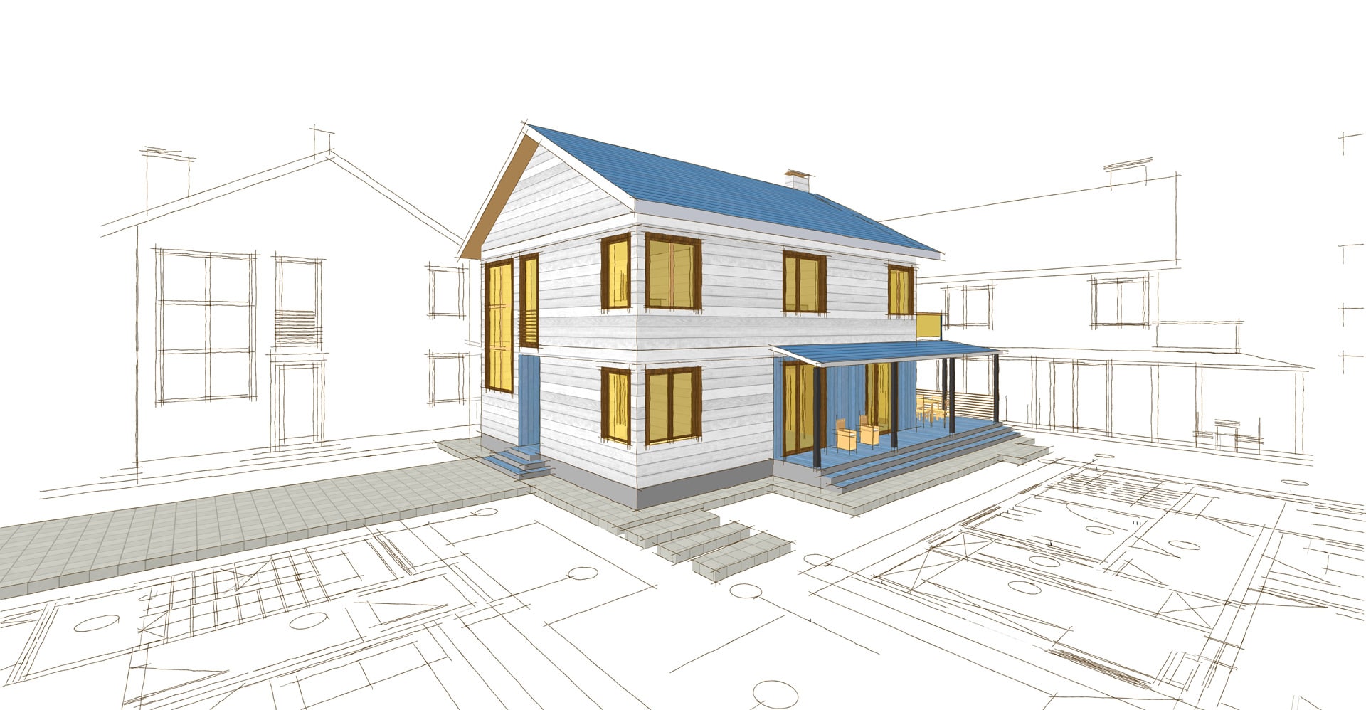
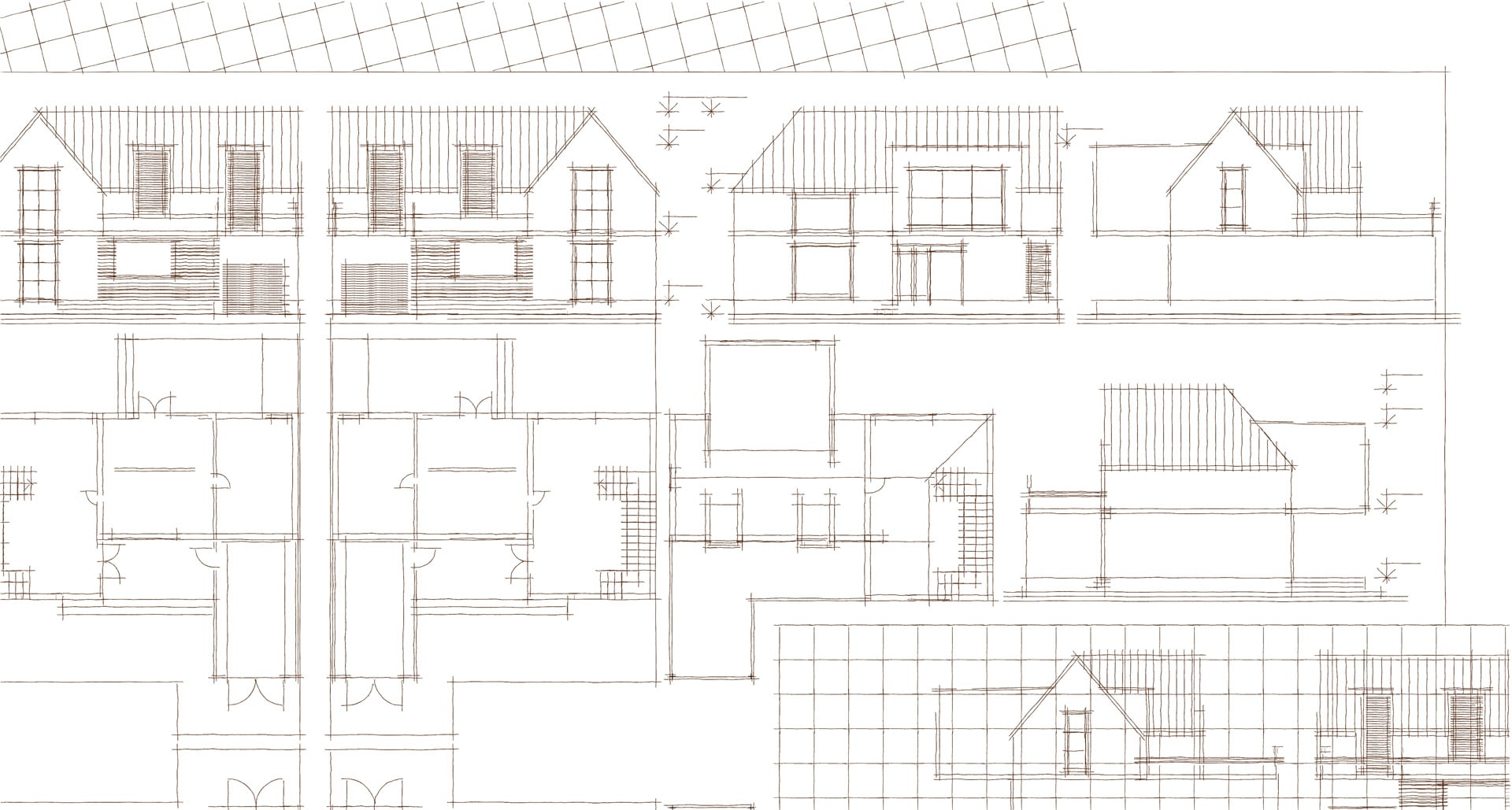
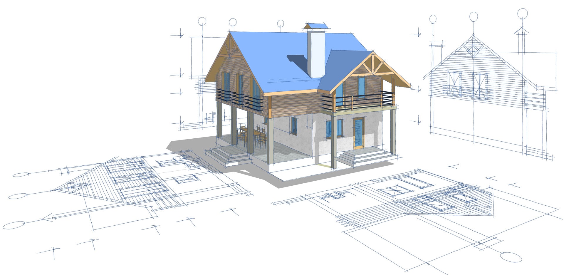
A measured building survey creates a detailed, internal and external map of a building structure. It provides data and information about the key architectural elements and structural features of a building.
Real Scan works with leading architectural practices, developers and homeowners in London and the South East, to scan and deliver accurate representations of building structures.
We can deliver our final measured survey outputs in a range of formats depending on your specific requirements including 3D point cloud data, scaled 2D AutoCAD drawings, 2D and 3D BIM models and much more. Please let us know what you need.
Our Real Scan process for measured surveys
Once you have a confirmed booking for a Real Scan measured survey and submit your payment. Here’s the process for us to create a digital scan of your building: